
Dane County ZIP Coverage
The official Dane County ZIP map shows a wide postal patchwork. It is a boundary map, not an official directory of USPS city names. The table groups the verified labels so it remains usable, while preserving the edge and institutional cases that need an address check.
| ZIP or group | Dane County area | Postal association | Boundary note |
|---|---|---|---|
| 53703, 53715 | Central and south-central Madison | Madison | Urban core |
| 53704, 53714, 53716, 53718 | North, east, and southeast Madison edges | Madison | Touches Maple Bluff, Monona, Blooming Grove, or Burke contexts |
| 53705, 53711, 53713, 53717, 53719 | West and south Madison edges | Madison | May cross Shorewood Hills, Fitchburg, or Middleton context |
| 53706, 53726 | UW–Madison | Madison | Institutional or unique use possible |
| 53792–53799 | Madison unique postal geography | Madison | Verify institutional or PO-box use by address |
| 53508, 53515, 53517, 53521, 53523 | Belleville, Black Earth, Blue Mounds, Brooklyn, Cambridge | Named local post offices | Municipal and delivery limits may differ |
| 53528, 53529, 53531, 53532 | Cross Plains, Dane, Deerfield, DeForest | Named local post offices | Includes village and rural surroundings |
| 53558, 53559, 53560, 53562, 53563 | McFarland, Marshall, Mazomanie, Middleton area | Named or Middleton-area delivery | Verify 53563 at the exact address |
| 53572, 53575, 53589, 53590, 53593 | Mount Horeb, Oregon, Stoughton, Sun Prairie, Verona | Named local post offices | Delivery area can exceed municipality |
| 53597, 53598 | Waunakee and Windsor areas | Waunakee or Windsor-area delivery | Check the exact Windsor address |
| Other 535 and 539 edge labels | Rural and far county edges | Not established in reviewed sources | Use USPS By Address rather than guessing |
The other labels visible on the map include 53503, 53507, 53516, 53534, 53536, 53538, 53544, 53551, 53553, 53555, 53556, 53557, 53571, 53574, 53576, 53578, 53579, 53582, 53583, 53585, 53587, 53594, 53599, 53911, 53925, and 53960. Their exact local city labels were not confirmed in the official sources reviewed. The sound choice is an address-level USPS result, not a made-up post office assignment.
Dane County's 537 ZIP Cluster
The 537 series centers on Madison, yet its practical geography extends into nearby municipal settings. A 53711 or 53713 mailing label can sit near Fitchburg. The 53714 area reaches the Monona and Blooming Grove vicinity. West-side 53717 runs toward the Middleton edge, while 53704 is close to Maple Bluff. Postal wording does not settle which clerk, assessor, ward, or tax body holds a record.
Campus ZIPs need extra care. The researched map identifies 53706 and 53726 with UW–Madison institutional geography. Codes from 53792 through 53799 may be unique, institutional, or PO-box oriented. Those codes should not be read as ordinary residential districts. Enter the full delivery address in the official postal tool before drawing any local conclusion.
Note: A Madison postal label can be valid even when the parcel lies in a different municipal or tax context.
Dane County's 535 ZIP Areas
Most of the county's named village, suburban, and rural associations use 535 labels. The verified set includes Belleville, Black Earth, Blue Mounds, Brooklyn, Cambridge, Cross Plains, Dane, Deerfield, DeForest, McFarland, Marshall, Mazomanie, Middleton, Mount Horeb, Oregon, Stoughton, Sun Prairie, Verona, Waunakee, and Windsor. Each name is a practical search lead, not proof that the whole delivery zone lies inside that municipality.
Edge labels demand restraint. The official map displays many small polygons that cross or touch Dane County, but the reviewed sources did not identify every matching post-office city. In those cases, the Dane County ZIP code directory preserves the number and says to verify the address. That is more accurate than filling a table from memory or assuming the nearest village owns the whole route.
Rural parcels also expose the gap between delivery and land records. A farm may use one postal city while its deed, tax record, and town clerk use a different jurisdictional name. Save the PIN and legal description from the parcel record. Those identifiers survive postal wording changes better than a city label alone.
Search Dane County by ZIP
A ZIP code directory works best as a narrowing tool. No inspected Dane County portal provides a complete ZIP-wide list of residents. Access Dane exposes address, parcel, owner, and advanced tabs but no visible ZIP filter on its home screen. Madison's assessor uses address, owner, and parcel searches. Badger Voters filters by county, municipality, and district, not by postal code.
- Confirm the full delivery address through the USPS lookup before using the ZIP elsewhere.
- Open a map or parcel portal to identify the municipality and parcel, keeping the postal city in a separate note.
- Use the official source's own filters. For voter geography, choose county, municipality, or district rather than forcing a ZIP.
- When the question reaches a named road, continue with the Dane County street directory and an address-keyed search.
One state search does accept postal input: the DSPS trades advanced search takes a full or partial five-digit ZIP for professional credential records. That is a license search, not a roll of people who live in the ZIP. Its result reflects a credential record and should be described only as such.
Verify Dane County ZIP Codes
The USPS ZIP Code Lookup is the authority for the current delivery label. It offers By Address, By City and State, and Cities by ZIP modes. The address mode is the safest choice at a city or county edge because it includes the street and unit detail that a boundary map lacks.
| USPS field | Input rule | Why it matters |
|---|---|---|
| Company | Optional | Useful for a named delivery point |
| Street Address | Required | Anchors the delivery record |
| Apt/Suite/Other | Optional | Can resolve multiple matches |
| City | Required | Supplies the entered postal city |
| State | Select Wisconsin | Limits the search to the state |
| ZIP | Optional | Can test a code already in hand |
USPS warns that a returned address does not establish that a person or company is at that place. Treat the result as delivery validation. It does not prove a current resident, owner, or business presence.
Dane County ZIPs Versus Limits
Dane County contains more than 60 cities, villages, and towns. Its postal polygons cross those local borders, especially around Madison, Fitchburg, Monona, Middleton, DeForest, Sun Prairie, and rural town land. Keep five fields distinct: situs address, USPS mailing label, legal description, municipal jurisdiction, and tax mailing address. The situs is the physical parcel address. A tax mailing address may point somewhere else entirely.
The county PIN, or parcel identification number, and legal description are stronger property keys than a postal label. Madison City Engineering also maintains official address maps with municipal limits, alternate street text, change arrows, plats, lots, and survey-map numbers. These can bridge an old address when a new ZIP or street name no longer matches a historical record.
- ZIP and ZIP+4
- A ZIP identifies a delivery area; the extra four digits narrow a delivery segment or point.
- PO-box ZIP
- A code oriented to post-office boxes rather than a normal residential block.
- Unique ZIP
- A code assigned to a high-volume institution or delivery point.
- Carrier route
- The path used to organize mail delivery within a ZIP, not a municipal boundary.
Dane County ZIPs Are Not ZCTAs
The Census Bureau creates ZIP Code Tabulation Areas, or ZCTAs, from census blocks. USPS creates ZIP Codes for delivery. A ZCTA can be noncontiguous, contain enclaves, or model a unique or PO-box-like area. It is useful for statistics, but it is not a substitute for a live USPS address result.
The Census ZCTA guidance explains the 2020 block-based geography.
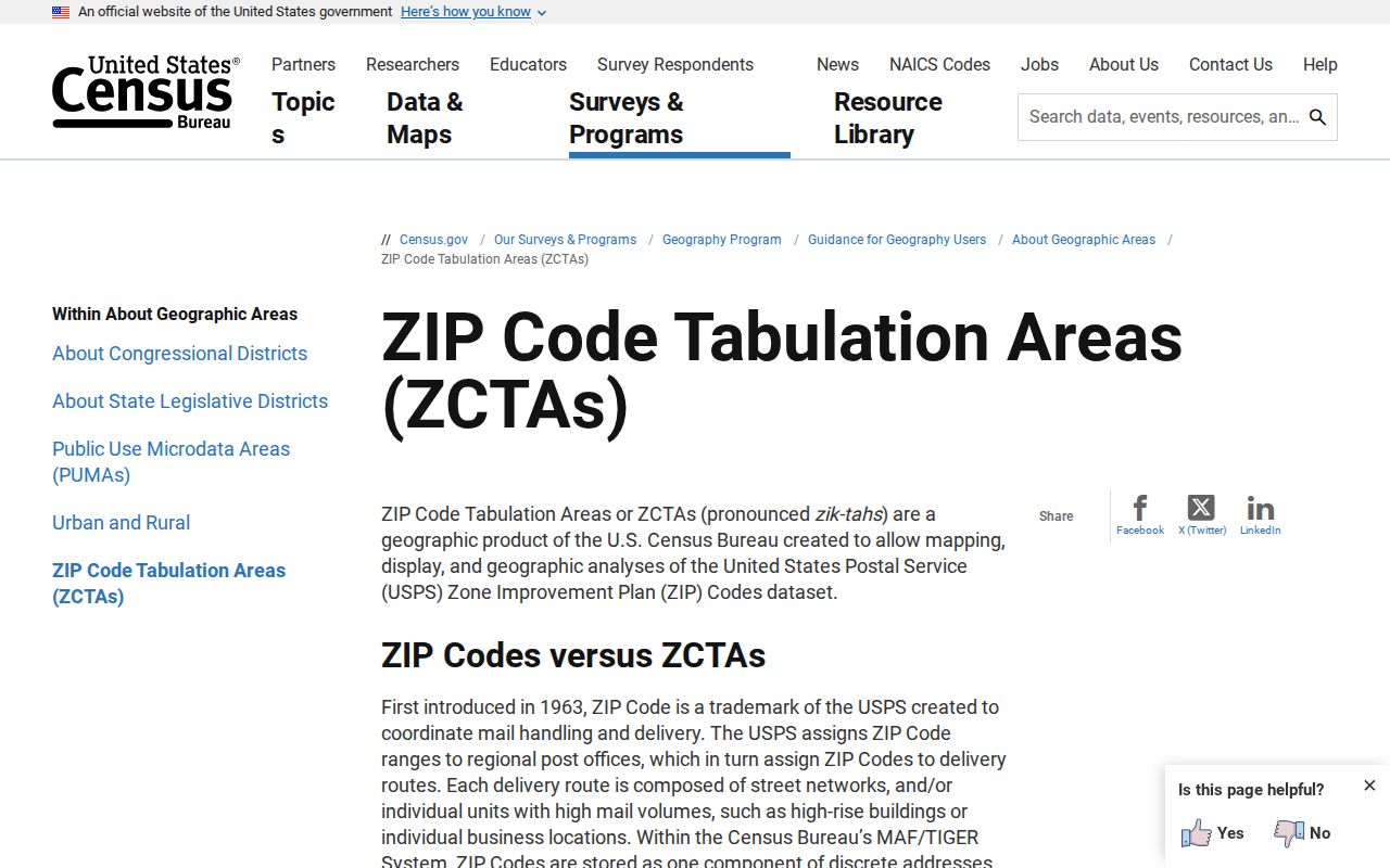
The captured federal page is a reminder to label any demographic map as ZCTA data, not as an exact postal route or proof that a household receives mail under that code.
Dane County ZIP Growth Context
Census QuickFacts estimated Dane County at 590,375 residents in July 2025, up from 561,504 in April 2020, a 5.1 percent rise. It also reports 1,196.49 square miles and a 2020 density of 469.3 people per square mile. Those county totals span a dense capital core, growing suburbs, villages, farms, and rural edges.
That scale is why a ZIP-only match is weak evidence. Similar names can appear across several postal zones, and one postal zone may cross local boundaries. Use a middle initial, parcel, dated public record, or another sound identifier. Demographic statistics should never be used to guess who an individual is.
Dane County grew across many local record systems, not one countywide city list. A ZIP result should therefore route the next search to the right municipal assessor, clerk, parcel source, or postal tool. It should not erase the distinction between Madison and the county's other communities.
Walk a Dane County ZIP Edge
A useful boundary check begins with two nearby parcels on a Madison edge. Compare the USPS By Address result, the official ZIP map, parcel geometry, assessor jurisdiction, ward or municipality, and the recognized neighborhood boundary. Write down each mismatch instead of trying to force all systems into one label.
This process shows why ZIP geography cannot answer every resident question. GIS can display a postal polygon and adjacent parcels, but it does not turn that shape into a resident list. The assessor reports ownership and tax fields, not all occupants. Voter sources use election geography and have protected fields. Keep any search lawful, narrow, and respectful, and never use public location details to stalk or harass a person.